Market Interspaces
- Industrial area
- Area vision
- Masterplan

Design and spatial structure
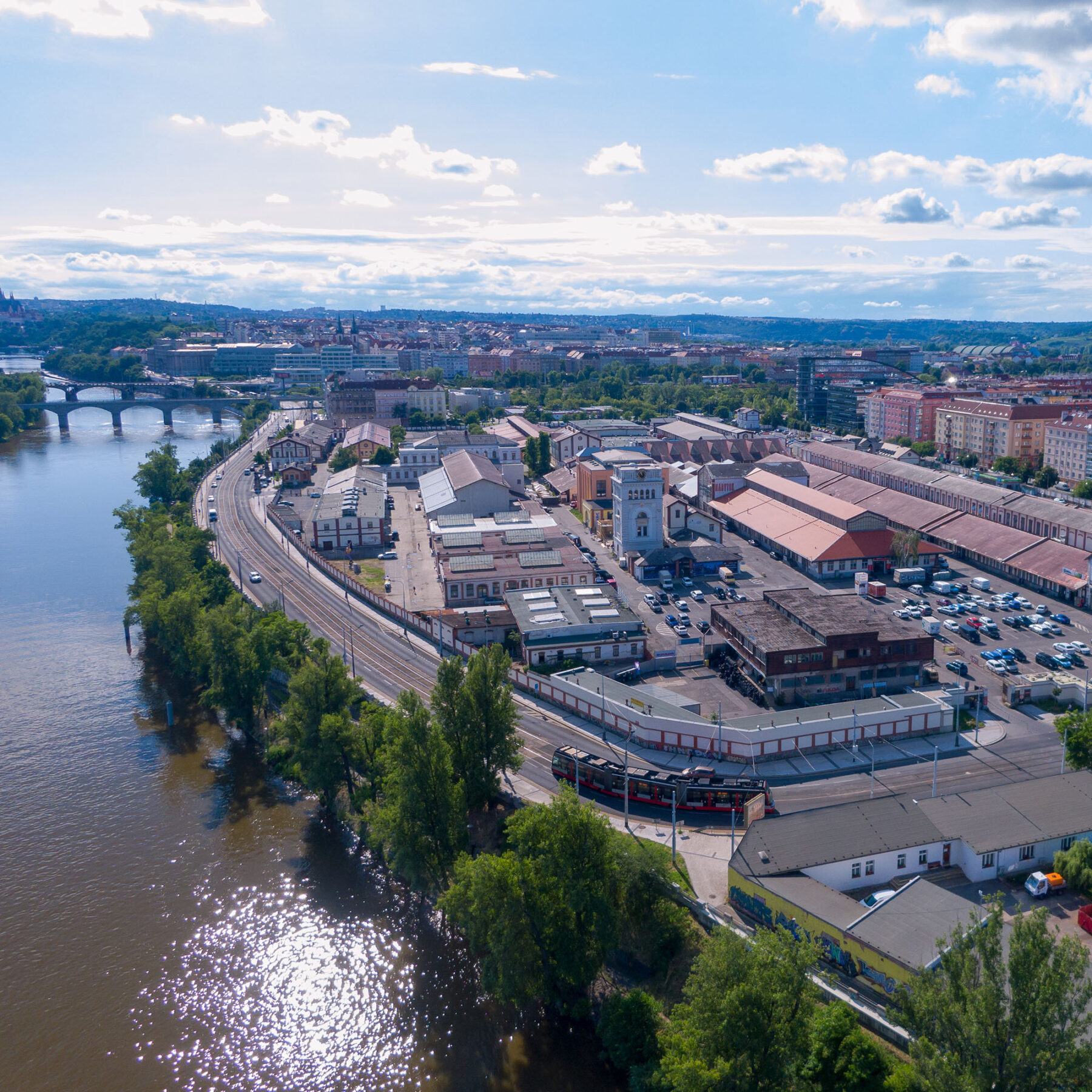
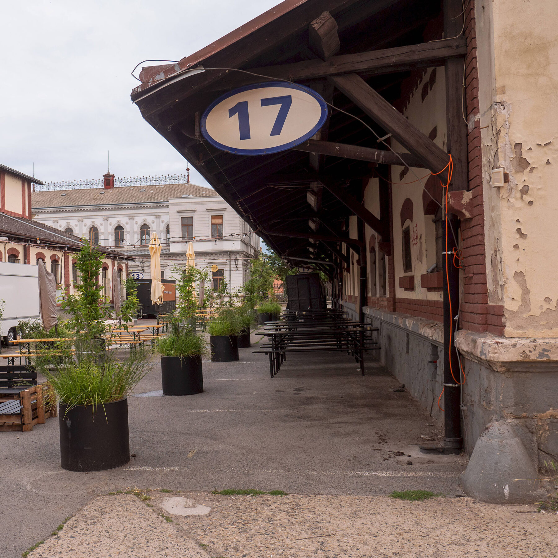
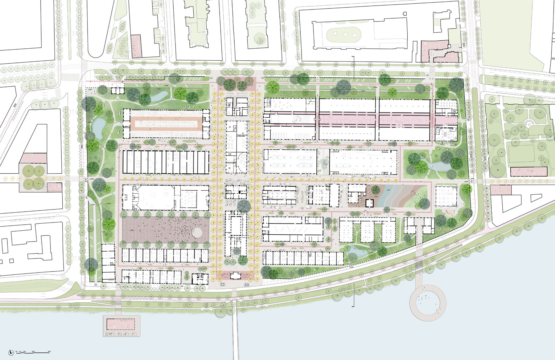
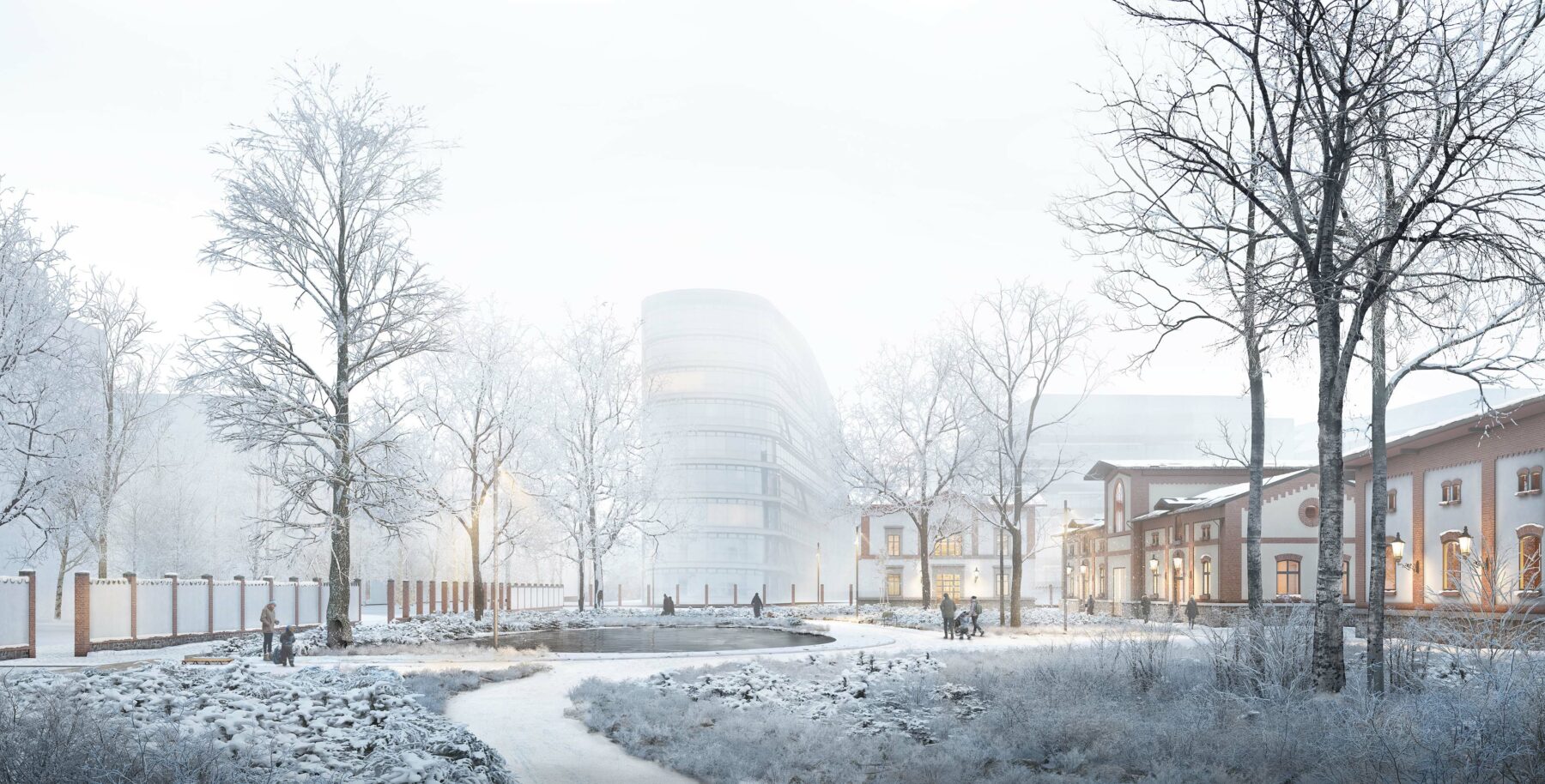
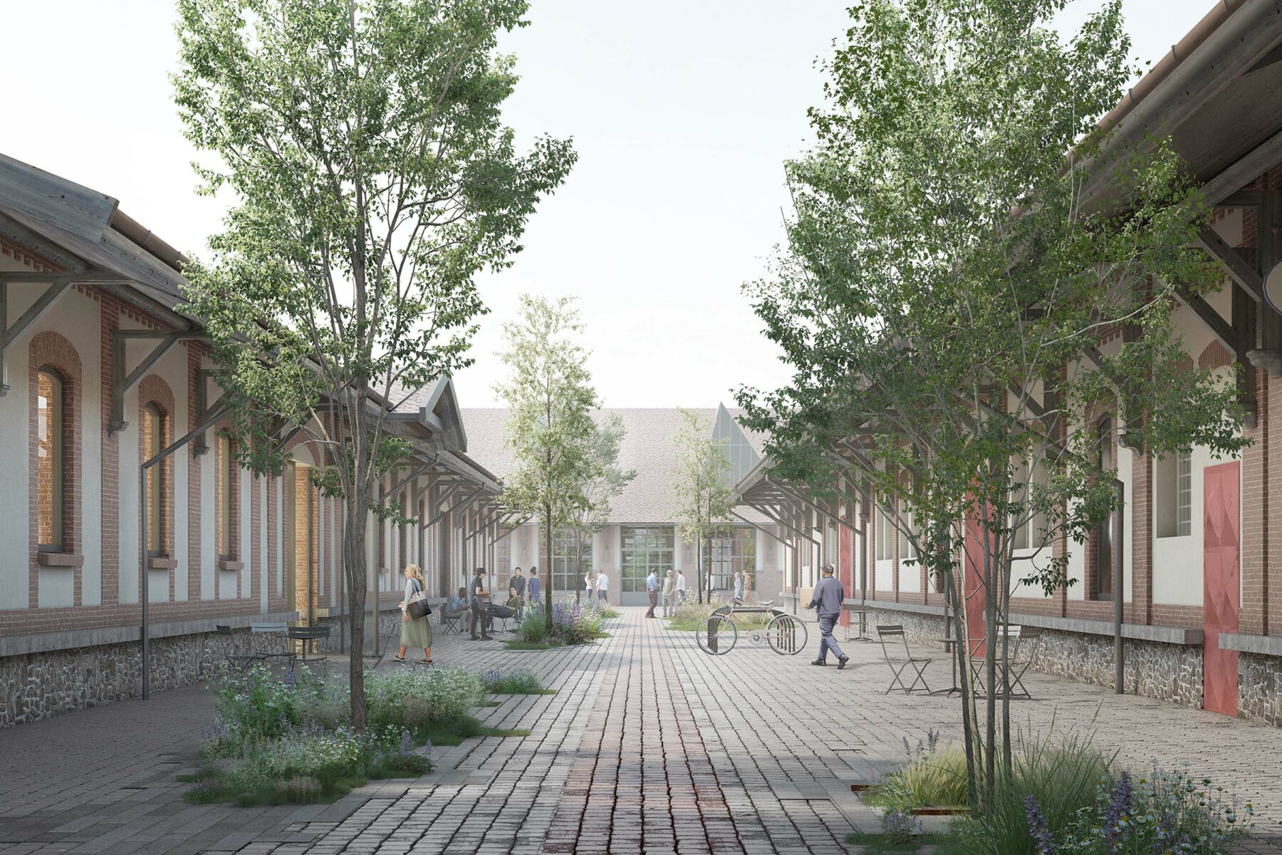
The existing industrial halls and listed buildings are preserved and transformed into accessible, flexible spaces that accommodate a wide range of uses. By opening up buildings and introducing new connections, the plan creates a permeable network of streets, squares, and courtyards while preserving the site’s historic identity. Existing materials and previously hidden historical structures serve as inspiration for the design of the public realm.
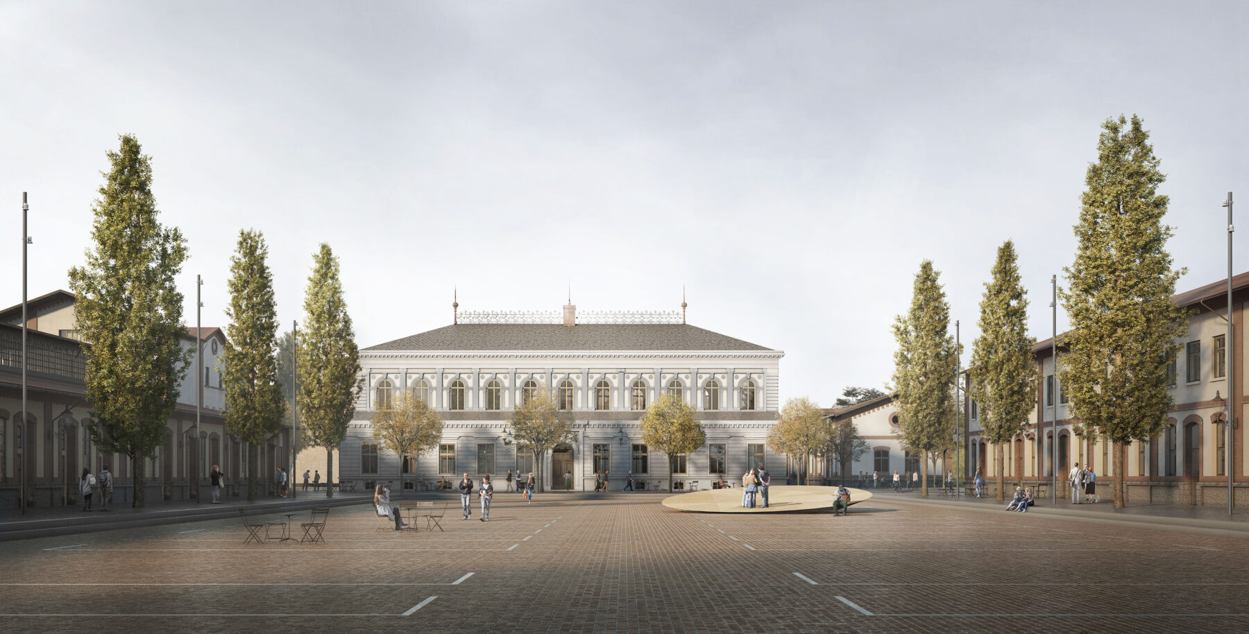
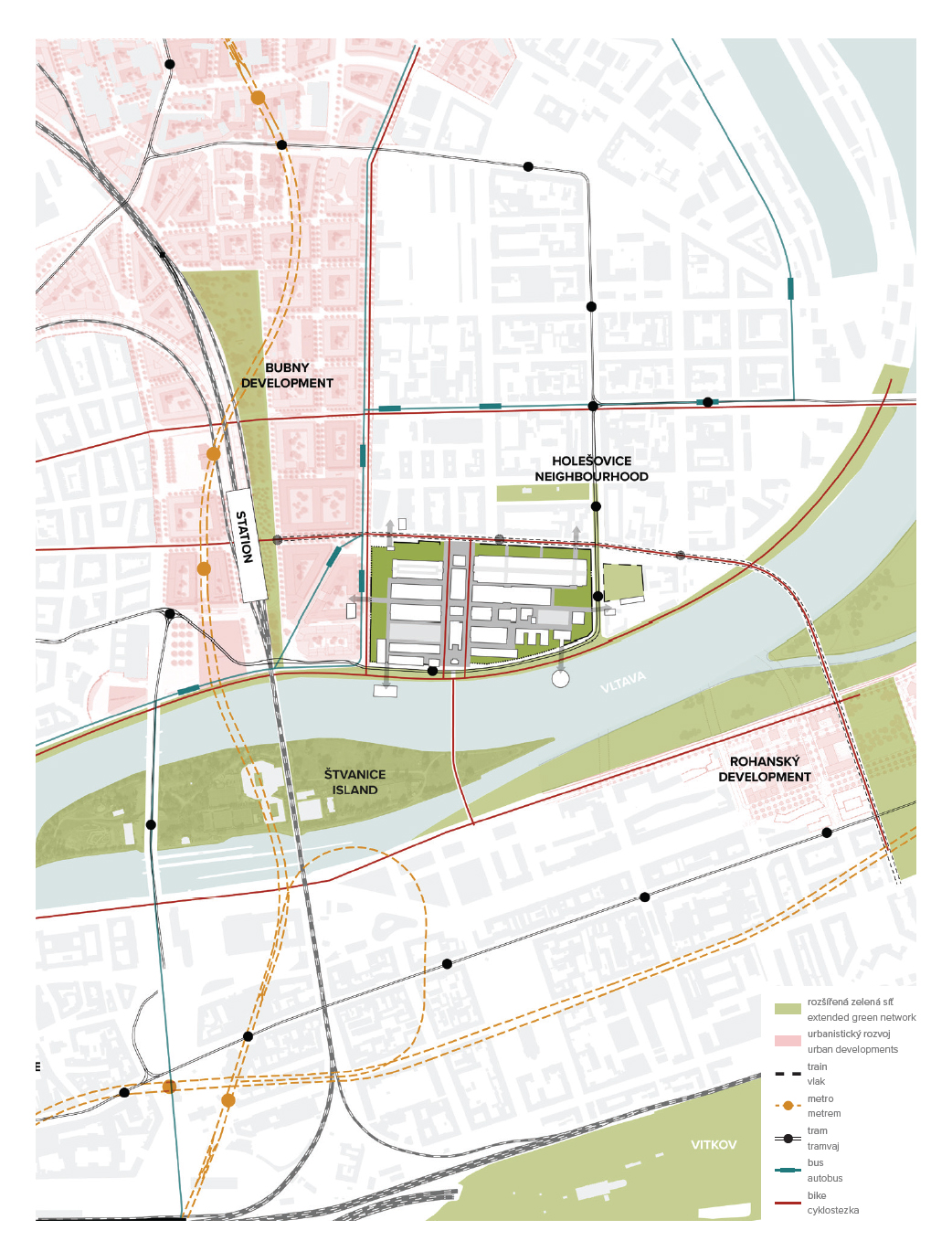
A central north–south axis forms the backbone of the development. This public route connects surrounding neighbourhoods with future developments while providing space for social interaction, cultural activities, and everyday urban life. New pedestrian and cycling connections integrate the former industrial site into the wider city.
An urban programme for culture, creativity, and community
The programme for Nová Továrna is based on a diverse mix of functions that together create an attractive and inclusive urban environment. Cultural venues, artists’ studios, workshops, cafés and restaurants, markets, event spaces, and creative industries are combined with public amenities and recreational facilities. As a result, the district remains lively throughout the day and across the seasons.
The existing market halls and historic buildings provide space for a wide variety of users and initiatives. By clustering functions around themes such as culture, craftsmanship, food, and social interaction, the plan establishes a clear and recognisable structure that encourages visitors to explore the site. At the same time, flexibility remains a key principle, allowing buildings and public spaces to adapt to changing needs over time.
The public realm acts as the connecting element between all programme components. Squares, market spaces, parks, and places to linger together form a network of urban rooms that encourage interaction, experimentation, and recreation. This creates a new urban destination that is not only attractive to visitors but also adds lasting value to the surrounding neighbourhoods.


Landscape, biodiversity, and climate adaptation
Landscape is one of the principal drivers of the redevelopment. A continuous green park surrounds the site and extends deep into the existing urban fabric, establishing a strong relationship between the city and nature. Green infrastructure is therefore not confined to the edges of the development but becomes an integral part of everyday urban life.
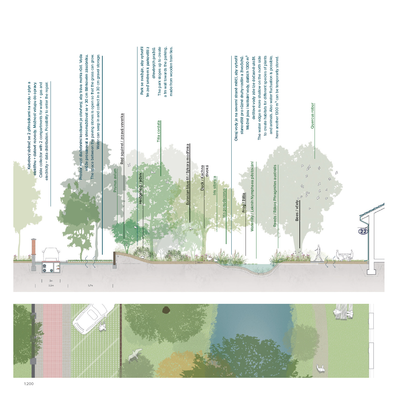
The landscape strategy is inspired by the natural qualities of the Vltava river landscape. Floodplains, wetlands, meadows, tree clusters, and water systems are reintroduced to create a resilient urban ecosystem. With approximately 46% of the public realm dedicated to green space, the development becomes climate-resilient, capable of mitigating heat, drought, and extreme rainfall while significantly enhancing biodiversity.
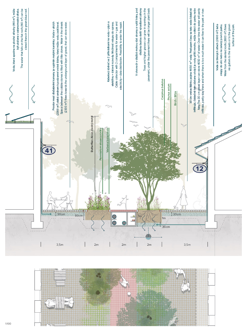
An integrated water management system collects rainwater from roofs and public spaces, storing it for use during dry periods. Water and vegetation function together as a single ecological system that contributes to cooling, biodiversity, and a high-quality public realm. These green spaces also form an important link within the broader urban and regional ecological network along the river.
Mobility and phased development
The masterplan prioritises walking, cycling, and public transport as the primary modes of mobility. New routes and connections link the site with surrounding neighbourhoods, the river, and future urban developments. The central public space is designed as a shared urban environment where pedestrians and cyclists take priority.
The redevelopment will be implemented in phases. Parking will initially remain available but will gradually be replaced by shared mobility hubs located around the edges of the site. This phased approach enables the district to evolve into a sustainable and future-proof urban neighbourhood where heritage, landscape, and urban life strengthen one another.
Want to know more about this project?
Robbert Jan will tell you all about it!